

Khuurai am dakhi khiid
Read in Mongolian
Name(s) of Temple :
Khuurai am dakhi khiid,
Rinchen Number :
369
Rinchen Name :
Dag yarinpil khiid
Type of Monastery/Temple:
Other
Aimag where the temple is located:
Töv
Sum where the temple is located:
Altanbulag soum
Old Aimag Name :
Tusheet Khan
Old Khoshuu Name :
Darkhan chin vangiin khoshuu
Description of location :
B. Rinchen: Khuurai Am
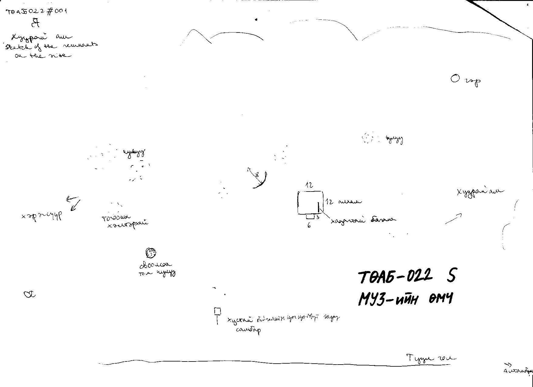
This historical site occupies Khustai natural range. It is located 20 km away from Altanbulag sum, on the northern shore of the Tuul river in a place called Khuurai Am.
GPS coordinates :
North 47° 40’ East 106° 02’
Total site area:
Side1: У40 Side2: Ө 40 Side3: Side4: Side5: Side6:
Revived temple on site :
No
Site status at the time of survey :
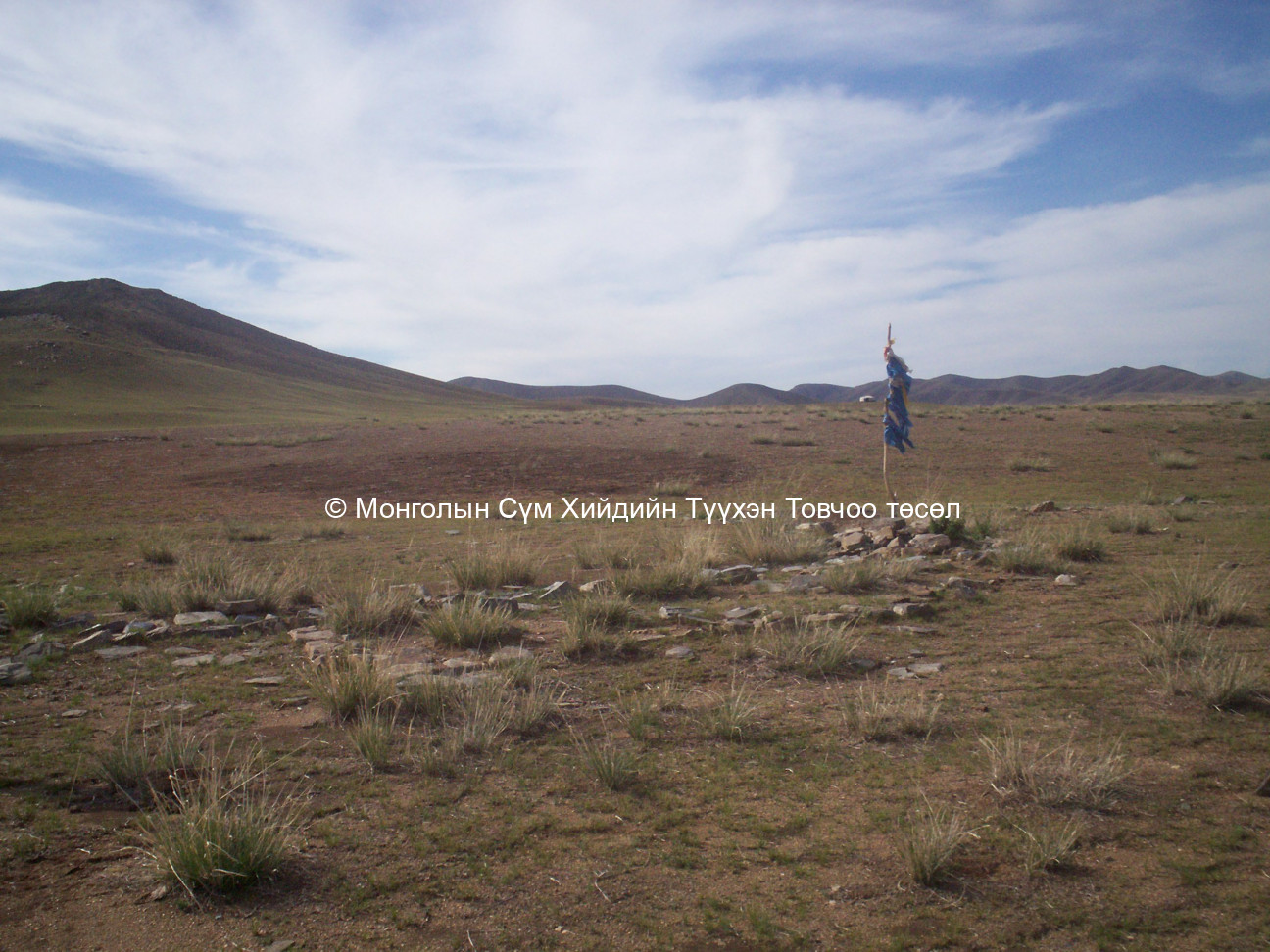
The monastic site remains are situated in the area of Khustai National Park on the north bank of the river Tuul, about 20 kms from the Sum centre. A pole with silken scarves tied around it indicates the place i.e. the stone foundation of a building and the foundation piece of a round/circle. A stone heap, many scattered fragments of pots, and ancient burial places are situated west of the monastic site. The family of the National Park guard live to the north of the site.
Date of establishment of the monastery/temple :
Unknown
Date of closing and destroying the monastery :
Revival of the old monastery/temple:
No
Founder's name and title (if known):
Date of Revival:
Monks in Old Temple :
not clear
not clear
Form Number :
ТӨАБ 022
Survey Team :
Team C