


Bayandungiin khural
Read in Mongolian
Name(s) of Temple :
Bayandungiin khural,
Rinchen Number :
550
Rinchen Name :
Bayandung khural
Type of Monastery/Temple:
Temporary Assembly
Aimag where the temple is located:
Dornod
Sum where the temple is located:
Choibalsan soum
Old Aimag Name :
Setsen Khan
Old Khoshuu Name :
San beisiin khoshuu
Historical Summary (In Mongolian only):
Дорнод аймгийн Чойбалсан сумын Баяндунгийн хурал Хуучнаар Сэцэн хан аймгийн Сан бэйсийн хошуу, одоогийн Дорнод аймгийн Сэргэлэн сумын нутагт, тал хээрийн бүсэд, сумын төвөөс зүүн зүгт 48 км-т Баяндунгийн хурал оршиж байжээ.Туурийн зүүн талд Дун уул, хойд талд Хүүхдийн овоо, баруун хойд талд Дэлгэр-Өлзийт уул, баруун талд Дунгийн Цагаан нуур зэрэг газрууд бий.
Description of location :
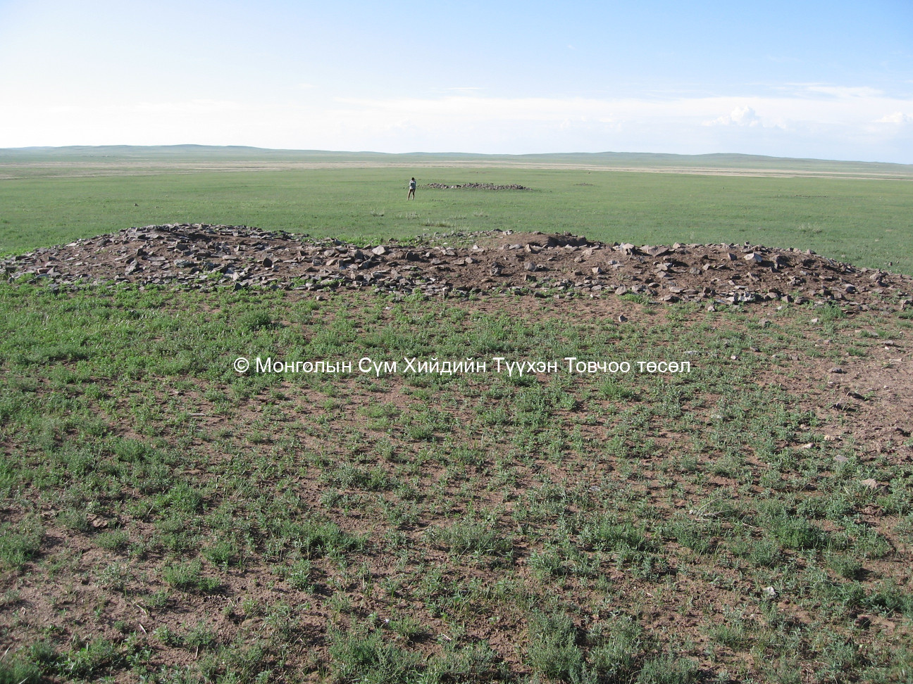
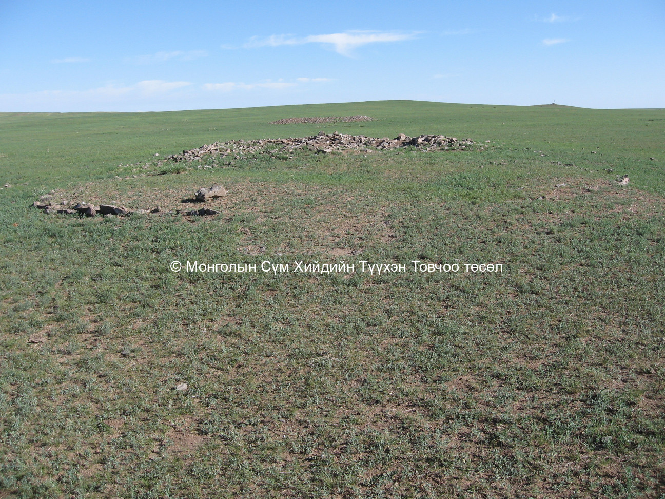
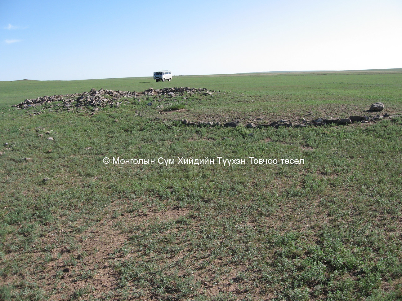
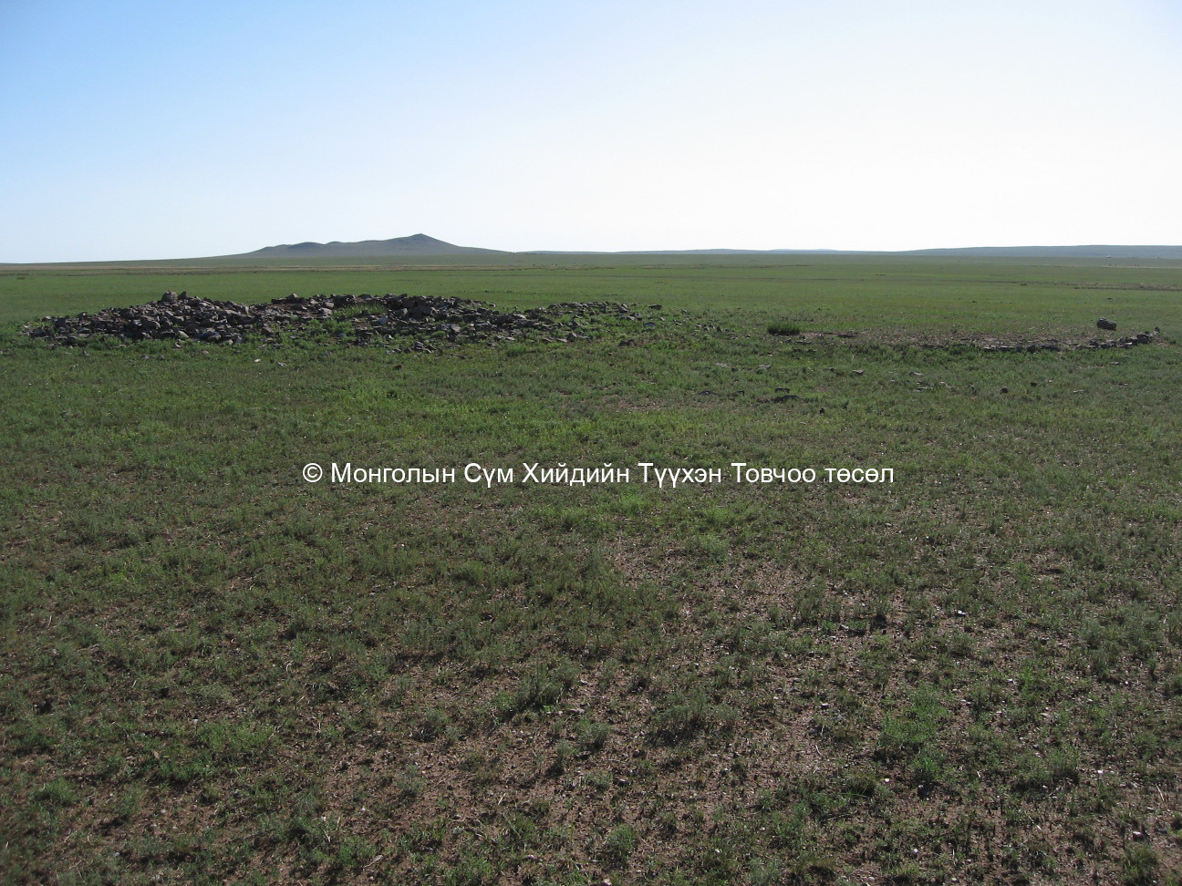
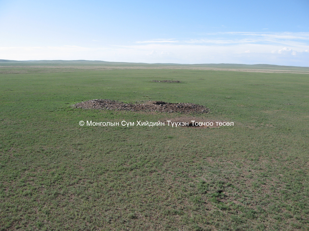
The site occupies steppe rangeland, located 48 km. east of the sum centre near a lake, Dungiin Tsagaa. To the west of the site is a mountain, Delger-Ulziit, to the north is a Children’s Owoo, Dun Mountain and a worshiped mountain Delger Ulziit. The Dun Mountain is also known as Bayan Dun.
GPS coordinates :
North 48° 44’ East 114° 32’
Total site area:
Side1: 5 Side2: 8 Side3: 6 Side4: 12 Side5: Side6:
Revived temple on site :
No
Site status at the time of survey :
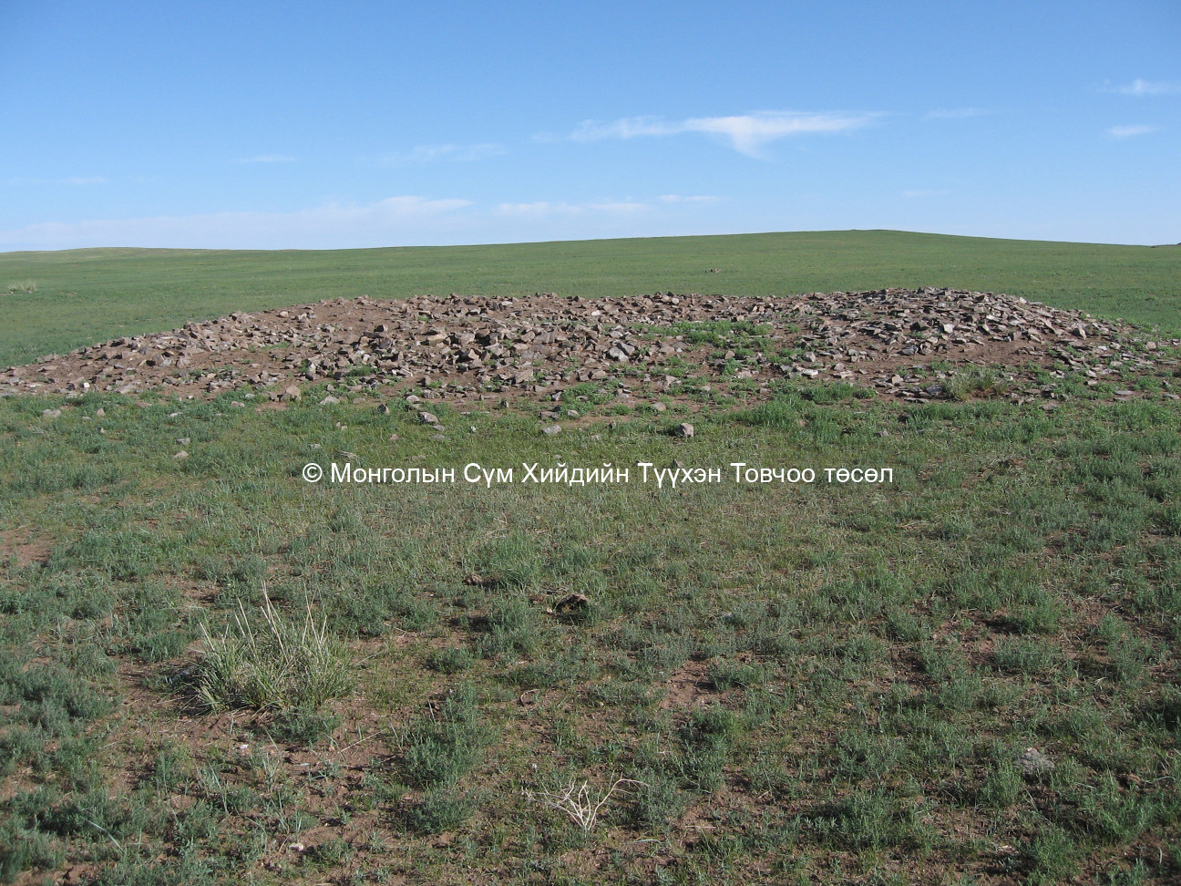
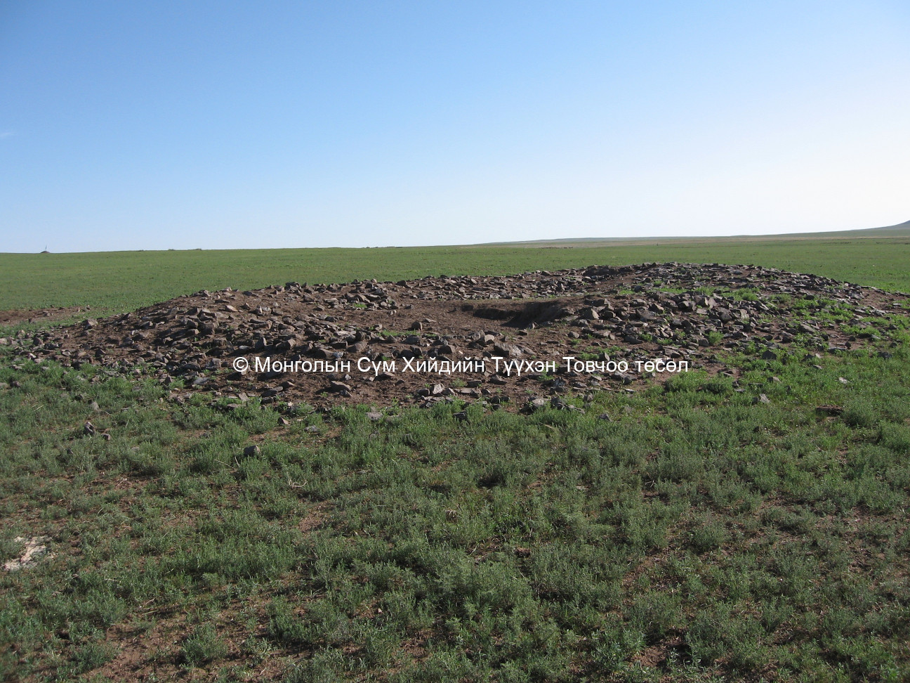
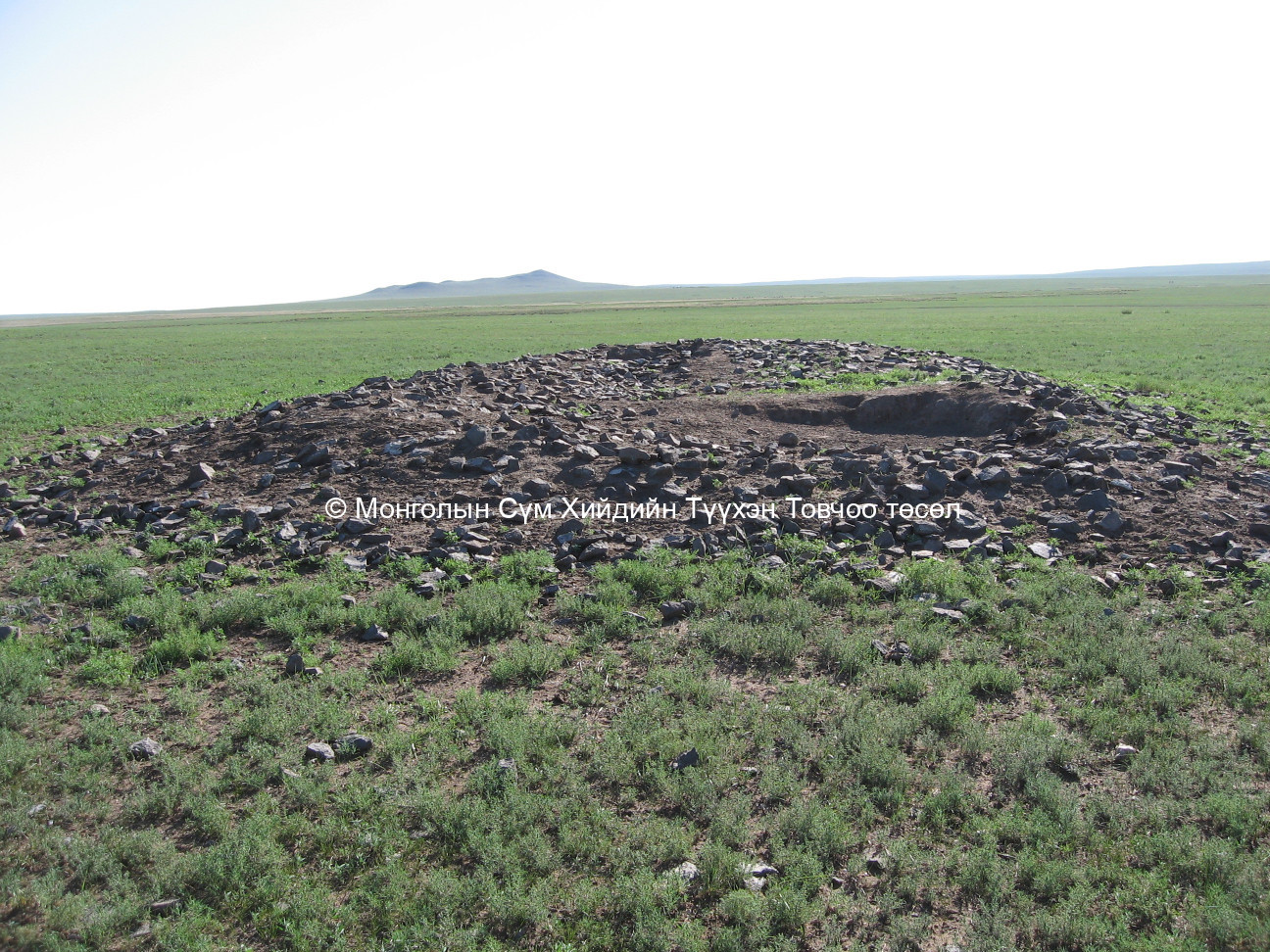
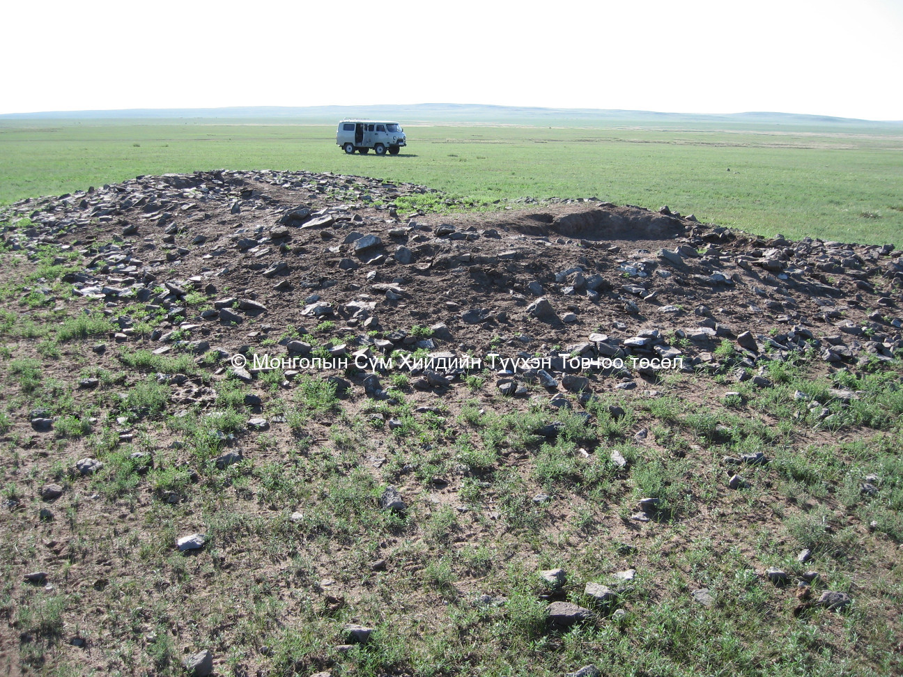
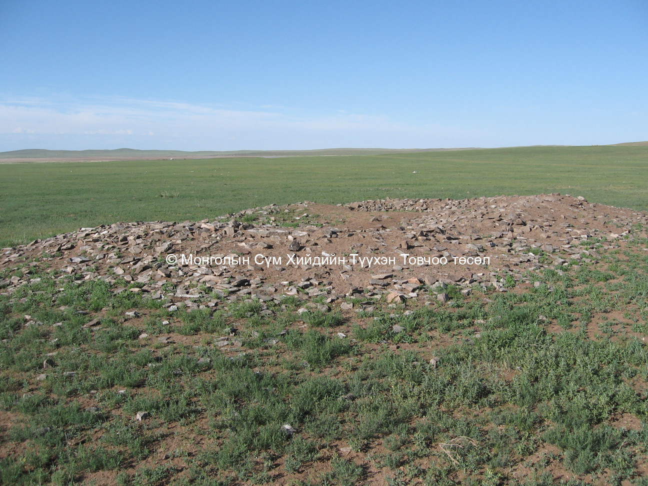
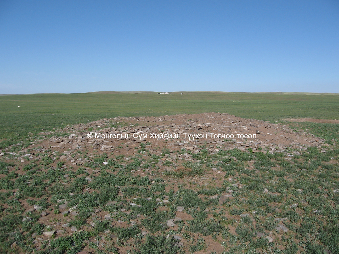
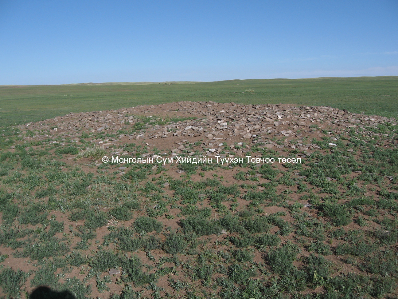
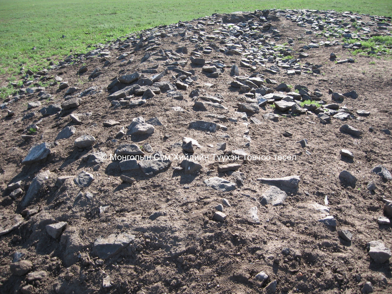
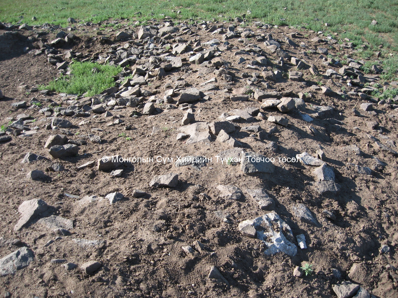
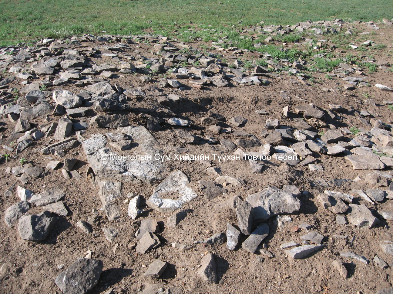
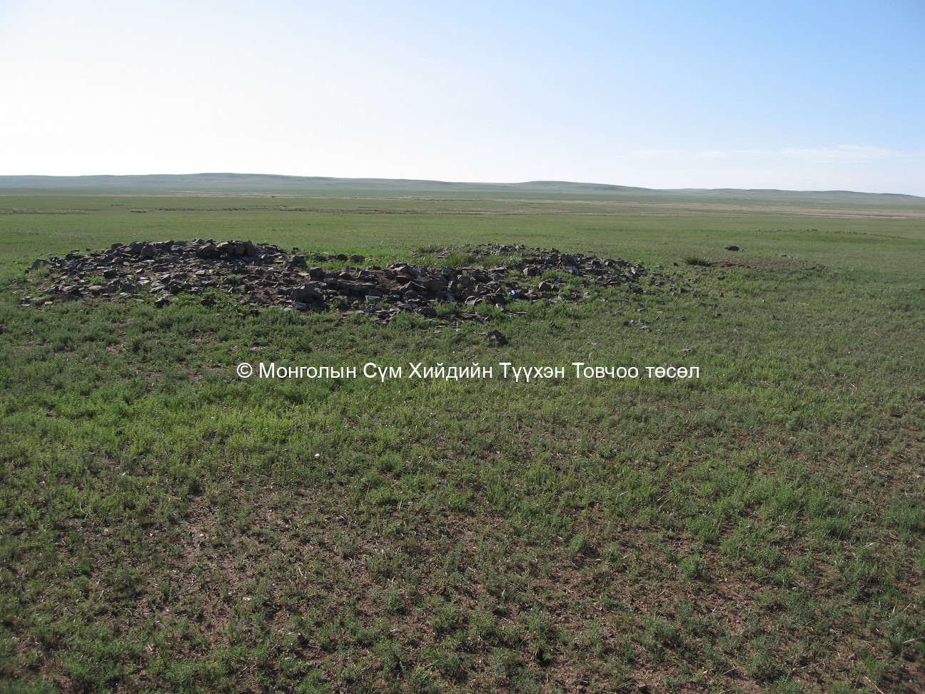
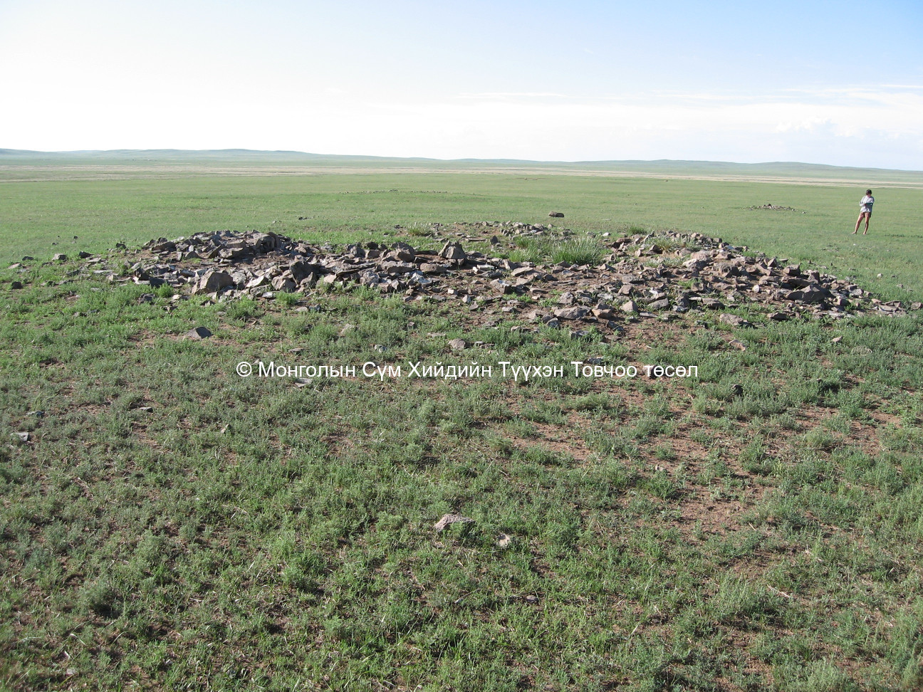
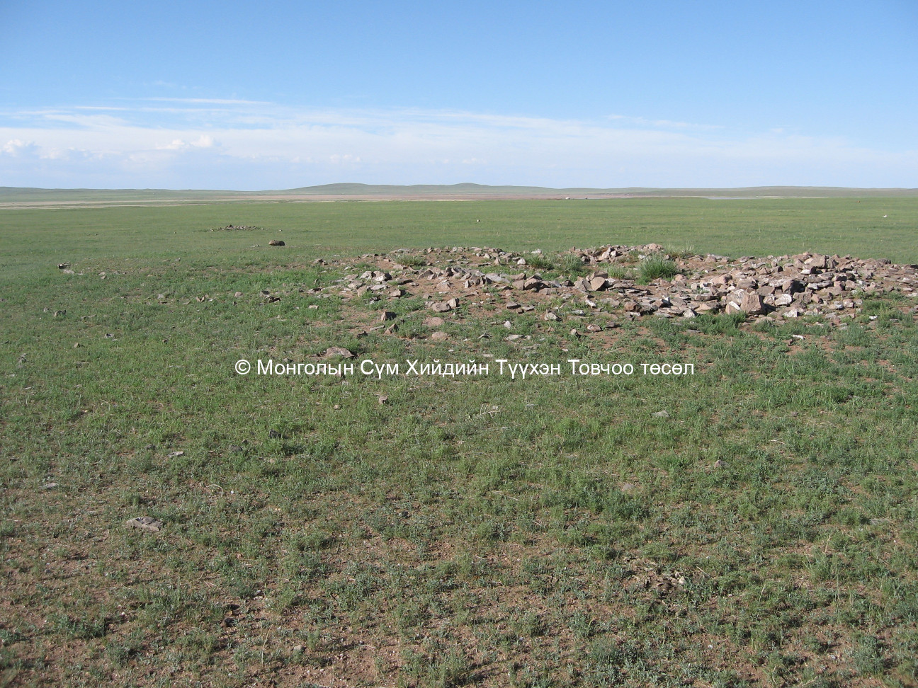
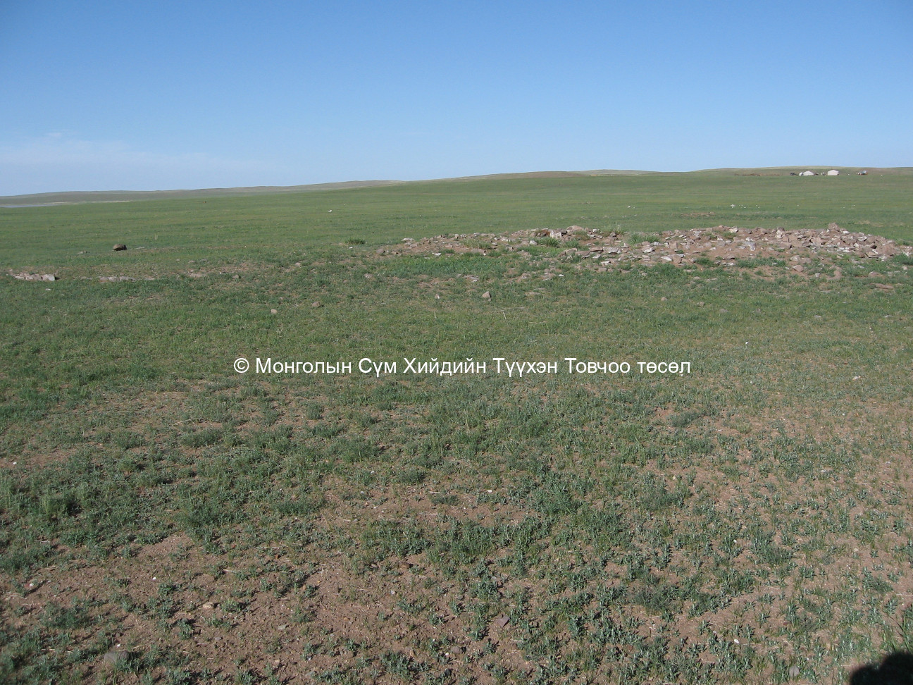
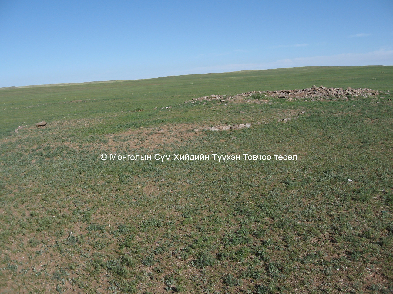
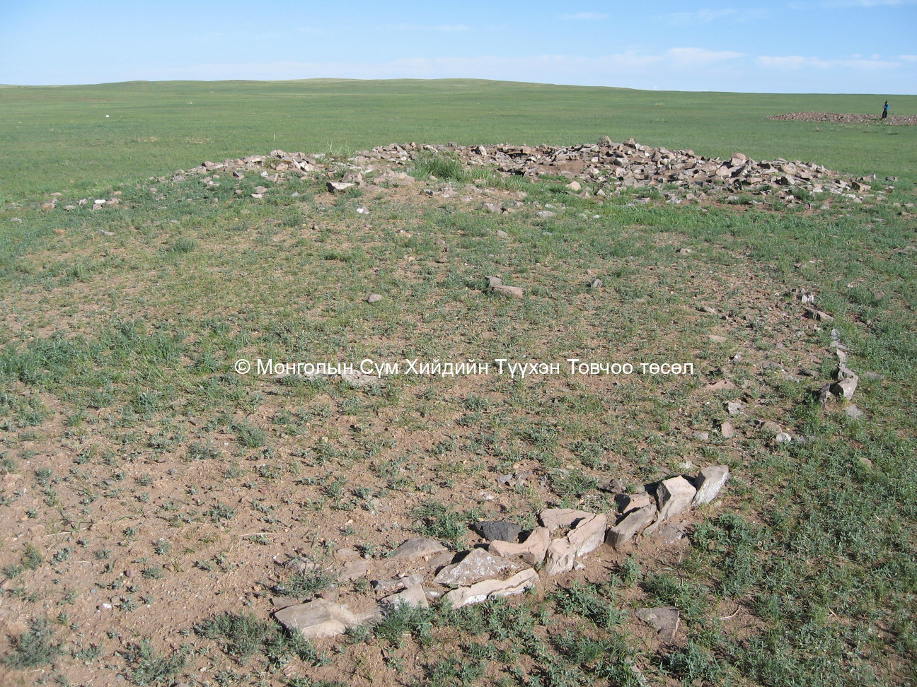
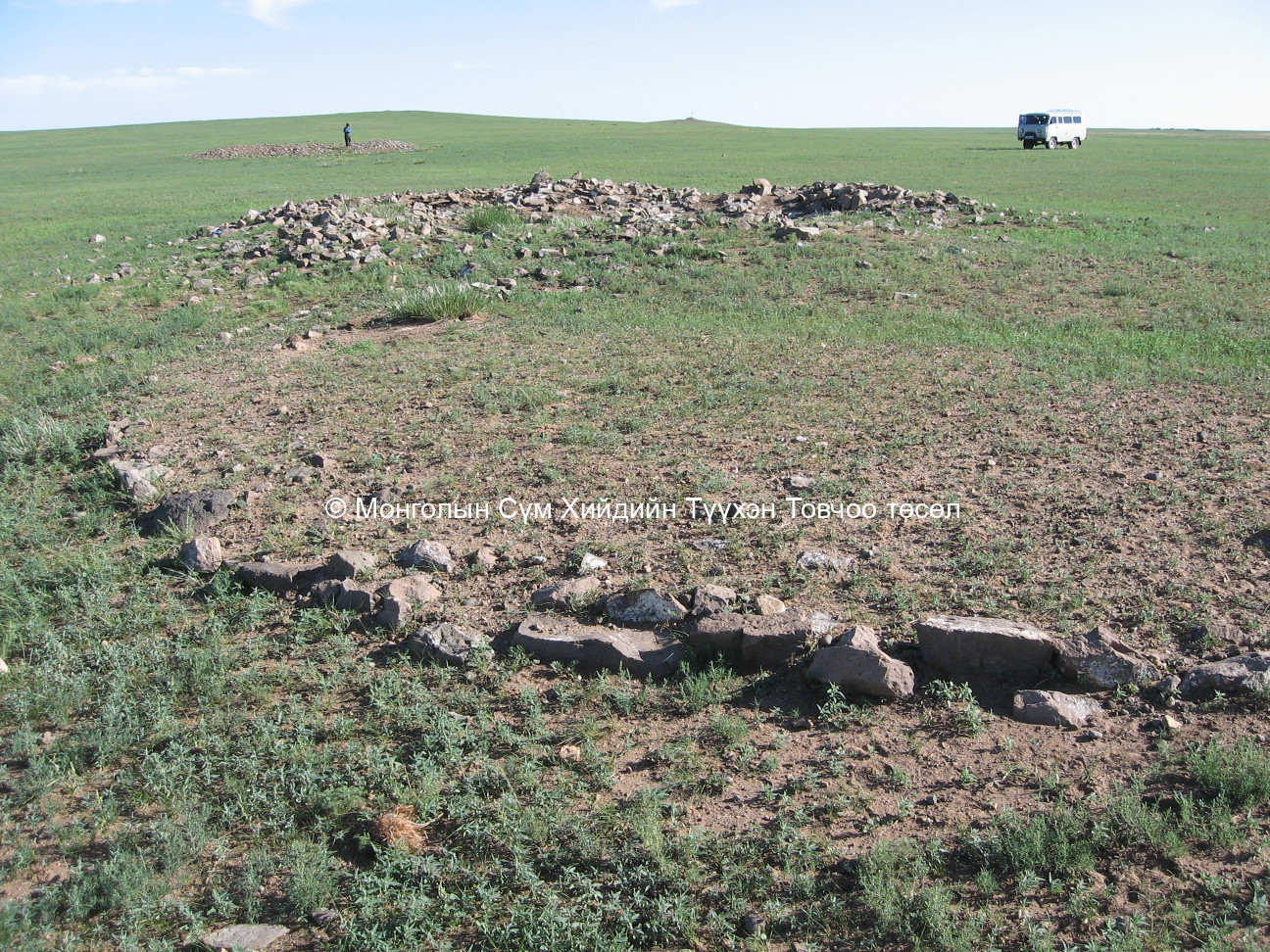
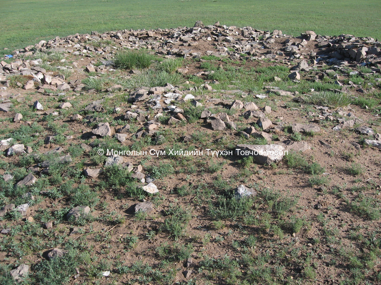
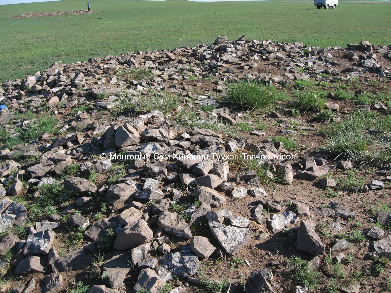
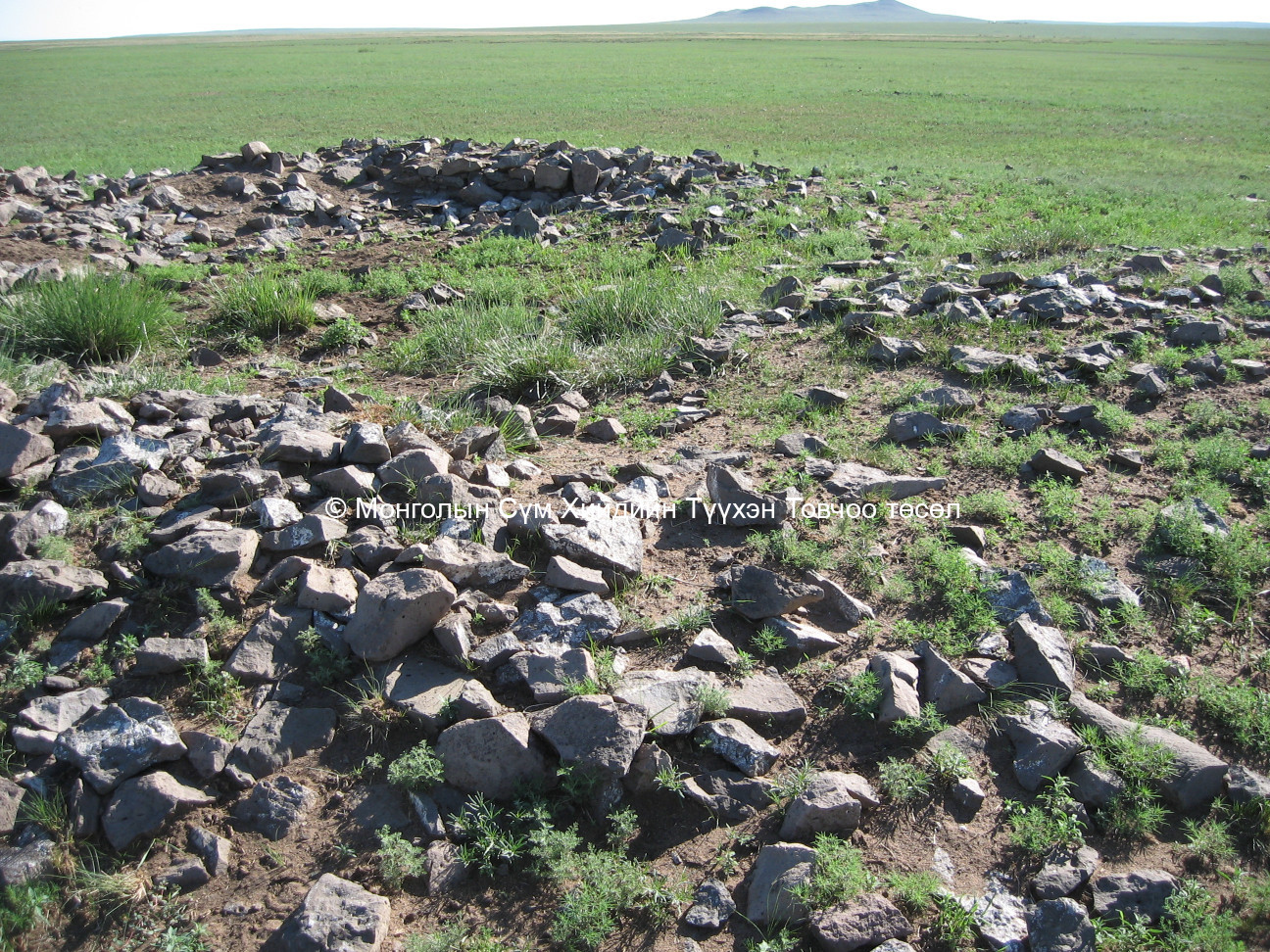
There are 3 big square bases that measure 8 x 8 m., 5 x 8 m. and 6 x 12 m. respectively. Next to these bases are 2 smaller bases whose sizes are unclear. Also on the site is an 8 x 8 m. sized base beside a ger-shaped temple base with 5.5 radius.
Date of establishment of the monastery/temple :
Unknown
Date of closing and destroying the monastery :
Revival of the old monastery/temple:
No
Founder's name and title (if known):
Date of Revival:
Monks in Old Temple :
not clear
not clear
Form Number :
ДОЧБ 021
Survey Team :
Team F
